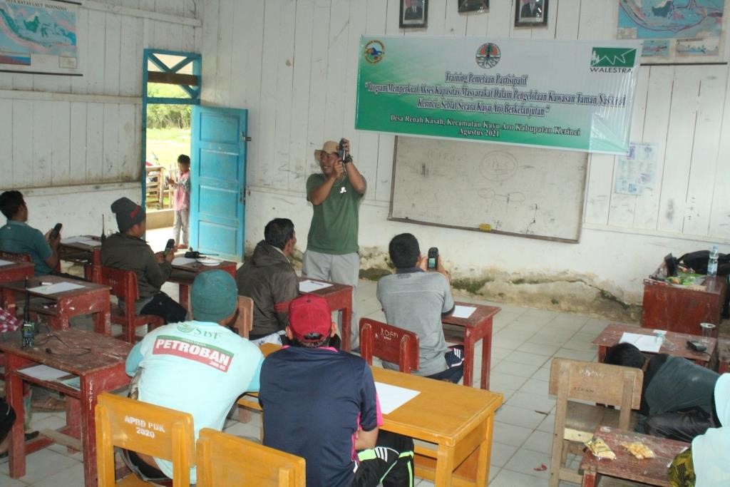
Participatory mapping training for community members was conducted on August 16, 2021 by our WALESTRA Foundation team in Renah Kasah village, Kayu Aro sub-district, Kerinci district, Jambi province, Sumatran island, Indonesia, in collaboration with Kerinci Seblat National Park (KSNP) Agency with support from Rights and Resources Group through the Rights and Resources Initiative (RRI) project. This training was attended by 20 people from Renah Kasah village. Nice job Desri Erwin and Fauzi Albedaro for the facilitation process of this activity.
This capacity building is divided into 2 (two) sessions, in the first session the trainer delivered material related to participatory mapping techniques and the introduction of participatory mapping tools that need to be used in land mapping activities such as the use of GPS (Global Positioning System), compass, and introduction to the earth map. In the second session, the training participants were taken out of the room and taught how to use mapping tools and carry out participatory mapping activities.
This knowledge transfer process will be very useful for communities to be able to independently conduct participatory mapping related village administrative areas and boundaries, existing land use, land use plans, forest areas around their villages which will be proposed to be managed through a Conservation Partnership (Kemitraan Konservasi) scheme between community group at the village level with the Kerinci Seblat National Park Agency.


