
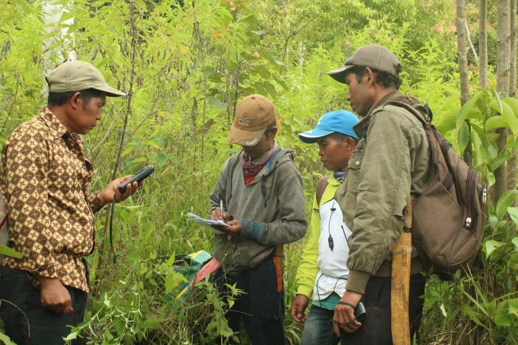
In order to obtain the area of the Kerinci-Seblat National Park (KSNP) that was degraded around Renah Kasah village, the Consortium of Walestra and LivE Foundation's facilitated a participatory mapping team of Renah Kasah village to conduct participatory mapping. The data from this mapping will greatly assist the Forest Farmers Group (KTH) of Renah Kasah village in determining candidates for the Conservation Partnership area that can be proposed to the management authority of KSNP. This activity was carried out on 17-19 August 2021.
Before the participatory mapping activity was carried out for the conservation partnership location, the participatory mapping team that had been formed in the village level was given a brief explanation of the planned land mapping activity to be carried out, then the mapping team was divided into several small groups consisting of several people. The division of the mapping team into small teams was carried out because considering the location of lands that were located separately, besides that it would be more effective if the land mapping process was carried out by several small teams than if it was carried out only in one large team.
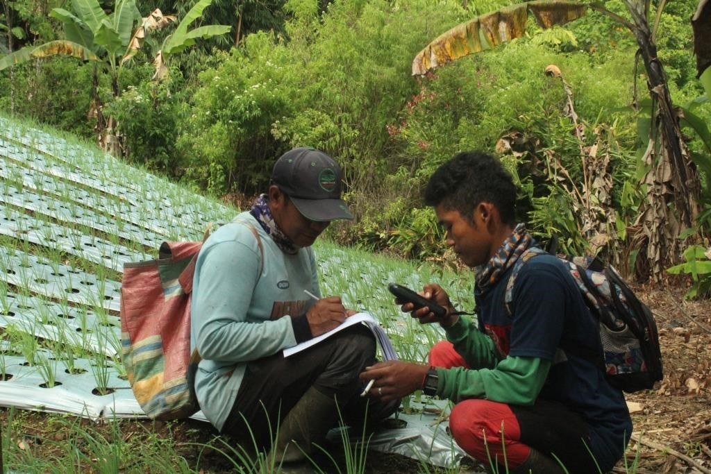
The existing condition of degraded land mapped for the conservation partnership scheme is in the rehabilitation zone within the KSNP area. Based on the results of participatory mapping that has been carried out, Walestra GIS and Database Specialist helped digitize the track data and GPS coordinates obtained into a map and finally the area of land that has been mapped is ± 57 hectares.
KTH of Renah Kasah village will complete other supporting data and then send an official proposal for social forestry model through the Conservation Partnership scheme to the management authority of KSNP.